Otto Krüger · 14 September 2026
Serova's Archival Mapping Project Connects 18th-Century Italian Diaries to Interactive Museum Applications
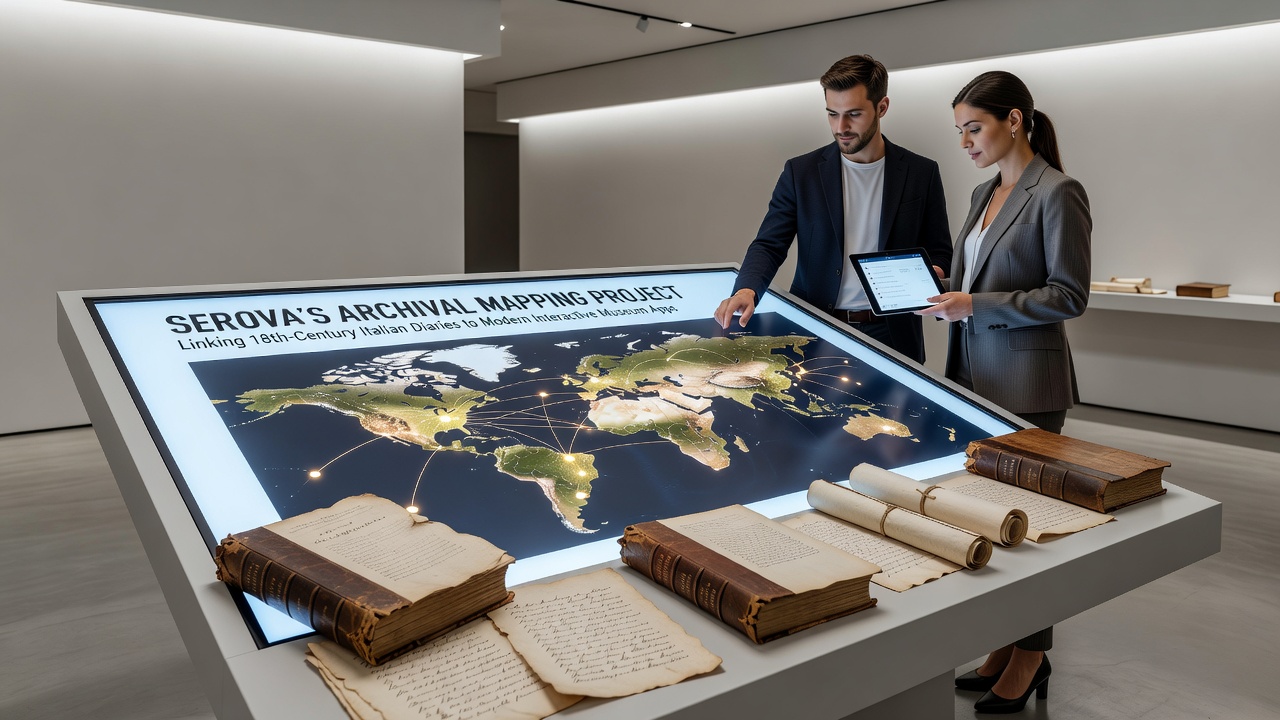
The project developed by Serova focuses on digitizing and geolocating entries from 18th-century Italian diaries, then feeding those coordinates and descriptions into apps that guide museum visitors through layered historical narratives. Teams began by scanning private collections and public archives across northern and central Italy, converting handwritten text into searchable databases while preserving original spelling variations and marginal notes. Researchers applied geographic information systems to match diary references to specific streets, buildings, and landmarks that still exist or have documented changes over time. This process creates location-based triggers in the resulting apps, where users receive notifications about a particular passage when they stand near the referenced site inside participating institutions.Historical Sources and Digitization Process
Diaries from the period often detail daily movements through cities like Florence, Rome, and Bologna, including observations of markets, churches, and social events. Archivists cross-referenced these accounts with municipal records and period maps to verify locations before assigning digital markers. Software tools developed for the project handle optical character recognition tailored to 18th-century scripts, reducing manual transcription time while flagging uncertain passages for human review.
Data from the Italian Ministry of Culture shows that over 1,200 diary volumes have entered the system since the project's expansion phase began, with entries tagged for themes such as commerce, travel routes, and architectural descriptions. The resulting dataset supports queries that filter by date range, author background, or geographic cluster.Integration with Modern Museum Applications
Museum staff integrate the mapped data into existing visitor apps through API connections that pull real-time location information from indoor positioning systems. When a visitor approaches an exhibit area, the app displays diary excerpts that reference nearby spaces, often accompanied by side-by-side comparisons of historical and current photographs. Developers tested these features first at institutions holding related artifacts, then scaled the interface for broader deployment. One implementation allows users to follow a single diarist's path across multiple rooms, with the app adjusting route suggestions based on current crowd levels and open exhibit sections. Technical documentation describes the use of augmented reality overlays that place diary text directly on physical objects when the device camera aligns with pre-mapped anchor points.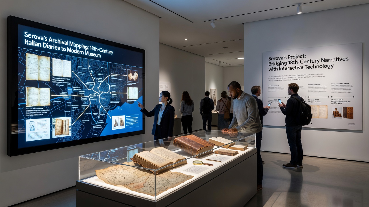
Updates Scheduled for September 2026
Project timelines list a major content release for September 2026 that adds diaries from southern Italian regions and refines the app's search functions to include voice-command access to translated passages. Partners plan to incorporate feedback from pilot sites, where staff reported increased dwell times near mapped exhibits after the initial rollout. The update will also introduce export options that let researchers download anonymized usage statistics for further analysis of visitor engagement patterns.